Serra de Tramuntana · 39.79°N 2.81°E

Ride the
Tramuntana

Ninety kilometres of limestone spine between Andratx and Formentor — and an island behind it that rides all twelve months. Ten climbs, four regions, every number sourced and dated.

Drag to orbit · scroll to zoom · click a climb

300days of sunshine a year 90 kmof mountain range, coast to coast 1,445 mPuig Major, the island high point Feb–Maythe peak riding window 4,325 mof climbing in the Mallorca 312, measured UNESCOWorld Heritage since 2011

01 — The atlas

Ten climbs, and only six are in the mountains

Numbers first, then what each one actually asks of you. Six in the Tramuntana, four in the flat two thirds of the island nobody writes about. Pick one and the map flies to it.

Serra de Tramuntana the mountain half
Beyond the mountains Es Pla & Serres de Llevant

Every figure on these ten cards is measured against Spain’s 5 m national terrain model — as are 65 more climb-sides across the whole island, with the method and the exclusions, in the full atlas.

02 — When to ride

Mallorca has a real season

Palma’s mean daily high runs from 15.2 °C in January to 31.3 °C in August, and October is both warmer than May and the wettest month of the year. The bars are our judgement of riding conditions; the temperatures are AEMET’s.

Jan 15.2°
Feb 15.4°
Mar 17.5°
Apr 19.8°
May 23.7°
Jun 28.1°
Jul 31.2°
Aug 31.3°
Sep 27.9°
Oct 23.9°
Nov 19.0°
Dec 16.1°
  • Peak
  • Good
  • Quiet & workable
  • Off-season
Bars: our judgement of riding conditions · figures: mean daily maximum at Palma airport, AEMET 1981–2010

Source Agencia Estatal de Meteorología (AEMET) · checked 5 August 2026AEMET publishes the station at 5 m altitude, 39° 33′ 39″ N 2° 44′ 12″ E. The airport sits on the plain: the Tramuntana valleys run cooler and the summits several degrees cooler again, so these are the island’s baseline rather than the temperature on a climb.

The two hot months are a clock problem, not a write-off

Three things that are true about riding here in July and August, each of them checkable. None of them is a claim about how it feels — nobody from this site has ridden it.

The numbers

August averages a daily maximum of 31.3 °C at Palma airport against 19.8 °C in April, so the heat is a question of when you start rather than whether you ride. It is also the driest month of the year: 5 mm of rain in July.

Formentor, cars barred

The road to the lighthouse is closed to unauthorised cars 15 May to 18 October 2026, 10:00–22:00 — and bicycles are one of the exemptions the DGT lists, alongside the shuttle bus and pedestrians. The restriction covers exactly the months everyone calls unrideable.

The east tops out lower

Our highest measured road summit in the Serra is 873 m (Puig Major); across the whole rest of the island it is 540 m, Santuari de Cura from Randa, and 23 of our published climb-sides are out there. Lower is not cooler by itself — but it is less climbing for the same day.

Source Dirección General de Tráfico (DGT) · checked 5 August 2026The Formentor window is the DGT’s, which runs three days longer than the Consell de Mallorca’s. Altitudes are this project’s own measurements; temperatures are AEMET’s 1981–2010 normals for Palma airport.

03 — The flat island

Two thirds of Mallorca is not a mountain

The plain, the wetlands and the southern cliffs are where the island rides in summer and winter — and where the roads are empty in March while everyone else queues for Sa Calobra.

01
Es Trenc & the salt pans

Dead flat, wide open and hard into a southerly. The closest Mallorca gets to a coast-road time trial, and beautiful in low winter light.

Migjorn / south Nov–Mar Flat · crosswind
02
S’Albufera & the northern flats

Reed beds, sluices and birdlife on lanes barely wider than a car. Sheltered enough to ride when the Tramuntana is under cloud.

Badia d’Alcúdia All year, early Flat · sheltered
03
The Es Pla café circuit

Sineu, Petra, Sencelles, Algaida — sandstone villages joined by empty lanes. This is where islanders actually train, and where the coffee is.

Es Pla / centre Jun–Sep at dawn Rolling · shaded
04
Cap Blanc & the southern cliffs

Long, exposed drags above the sea out of Palma. No hairpins, no shade, no traffic — just a big gear and an hour of horizon.

Migjorn / south Dec–Feb Exposed · long drags

04 — Bases

Where you sleep decides which climbs you get

Mallorca is not one cycling destination, it is three or four. Pick the base that puts the roads you want inside a morning.

Photo — harbour + bikes at dawn

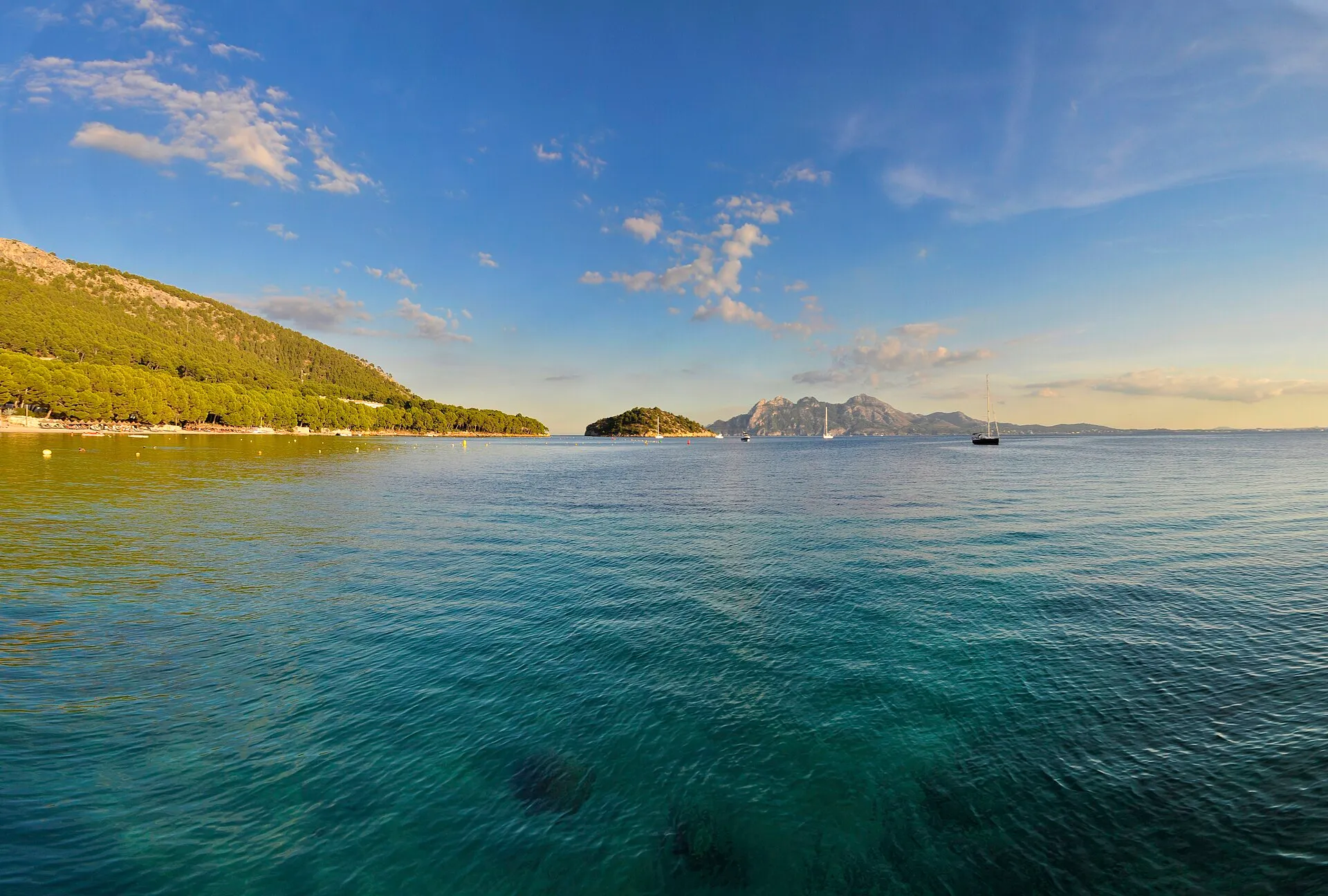
Port de Pollença

The classic Tramuntana base. You roll straight into the mountains — Femenia, Sa Calobra and the Formentor lighthouse are all on the doorstep.

Climbs < 30 km 5 of 10
Best for First trip
Read the guide →
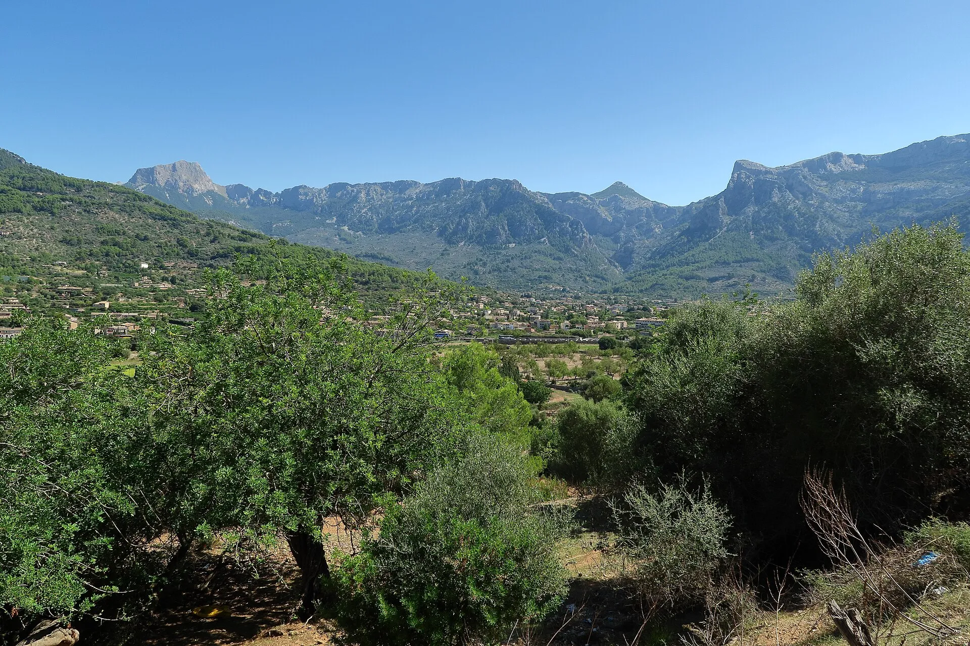
Photo — terraced valley, Sóller

Sóller & the west

Quieter, greener, steeper. Puig Major and the Sa Calobra descent are within reach without a transfer. Fewer big hotels — small fincas dominate, so book ahead.

Climbs < 30 km 4 of 10
Best for Climbers
Read the guide →
Photo — flat coast road, Alcúdia

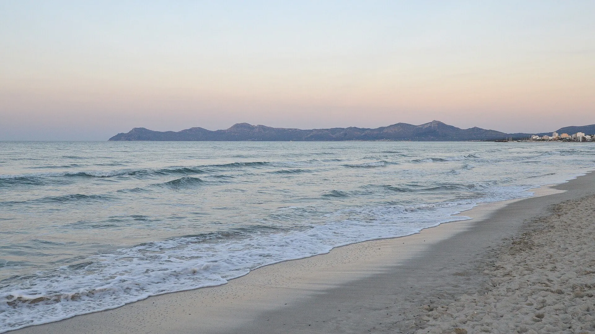
Playa de Muro & Alcúdia

Flat coastal spins, long promenades and big hotels with the bike infrastructure dialled in. You will drive to the mountains, but the logistics are easy.

Climbs < 30 km 3 of 10
Best for Families
Read the guide →
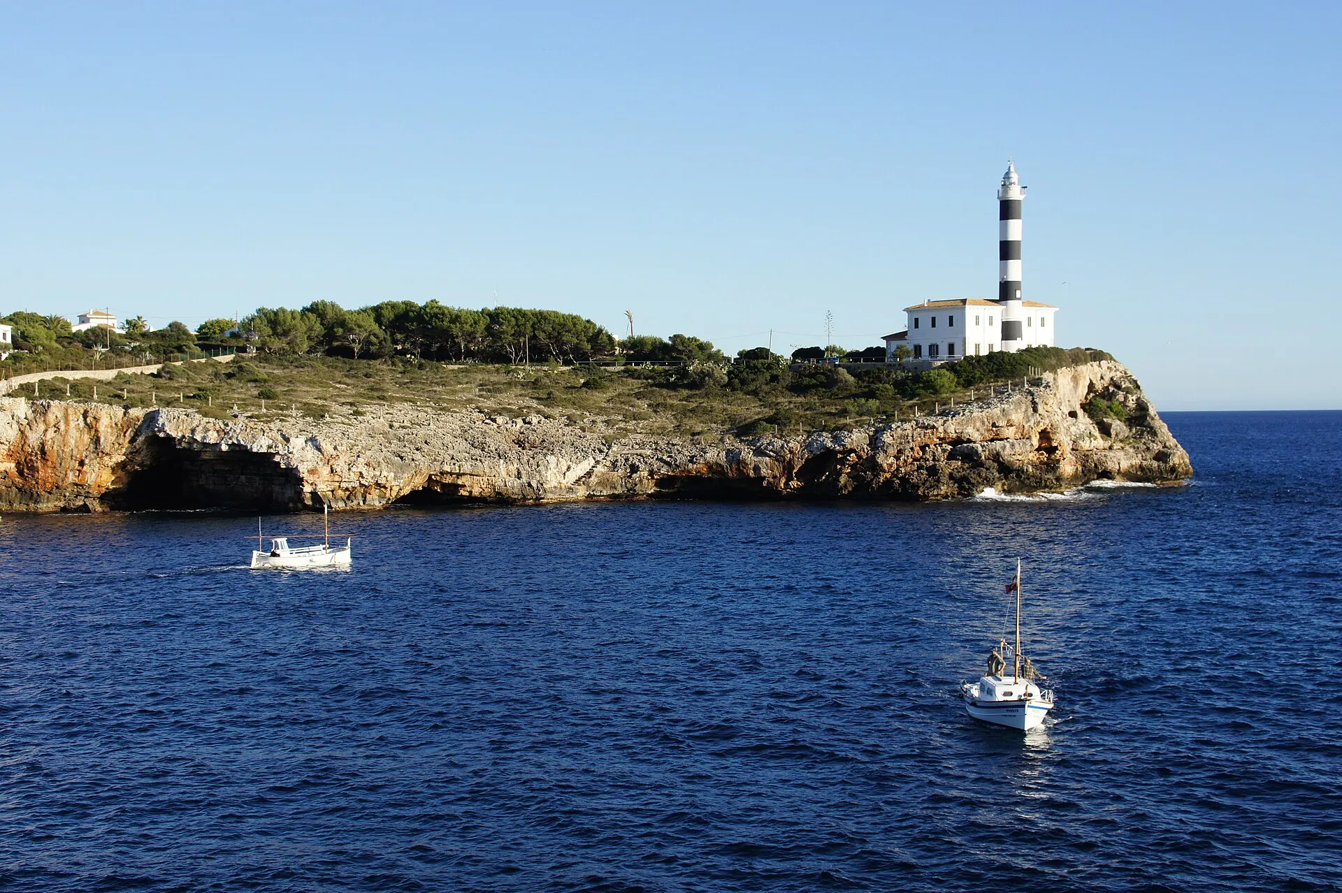
Photo — fishing boats, Porto Colom

Porto Colom & the east

The out-of-season base. Sant Salvador and the Llevant hills on the doorstep, Es Trenc a morning away, and rooms you can still get in July.

Climbs < 30 km 3 of 10
Best for Summer
Read the guide →

Every one of these bases is reached from Palma airport, usually with a bike box in the boot — compare Mallorca car hire.

05 — The map

Ten climbs, four regions, one map

Bike-friendly hotels, all ten climbs and the roads between them — mountains, plain, east and south on one screen. Nothing loads until you ask it to.

Loads a third-party map from Stay22 only when you click.

SA CALOBRA SÓLLER LLUC POLLENÇA ALCÚDIA PALMA RANDA SANT SALVADOR BETLEM BONANY PORTO COLOM ES TRENC S’ALBUFERA MALLORCA · 3,640 KM² · 39°36′N

Plan your Mallorca cycling trip

Get the free route and hotel planner: seven days mapped from your base, with the climbs in a sensible order. No spam, unsubscribe anytime.